| ©The Archaeological Settlements of Turkey - TAY Project | ||||||
|
|
||||||
Erbaba |
||||||
|
|
||||||
| Ages | Maps | Photos | ||||
| Neolithic 14C |
 |
 |
||||
|
|
||||||
|
Type:
|
Mound | |||||
|
Altitude:
|
1105 m | |||||
|
Diameter:
|
m- Direction: | |||||
|
|
||||||
|
Region:
|
Mediterranean | |||||
|
Province:
|
Konya | |||||
|
District:
|
Beysehir | |||||
|
Village:
|
Gölkasi | |||||
|
|
||||||
|
|
||||||
|
|
||||||
|
TAYEx:
|
Visited - 9/7/2001 | |||||
|
|
||||||
|
Registration State:
|
Registered For detailed registration information please refer to Turkish pages. | |||||
 |
||||||
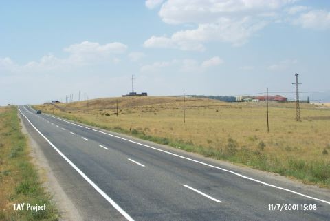
| Location: This site lies west of the city of Konya; 10 km north-northwest of the town of Beysehir; 2.5 km northeast of the village of Gölkasi (Kistifan) and east of the highway between Beysehir and Isparta. |
| Geography and Environment: The mound; which is reported to have a 4 m high cultural depositional fill layer with a 80 m diameter; lies 1.5 km east of Beysehir Lake; on a natural hillock. Part of the mound has been damaged by large hollows created by villagers who made use of the mound-soil. Plastering of the walls and floors can be seen in the cross-section of the largest of these hollows which is 40x4x2.5 m in size. |
| Destruction Details: |