| ©The Archaeological Settlements of Turkey - TAY Project | ||||||
|
|
||||||
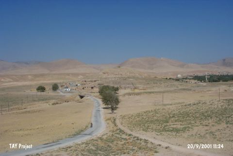
Gire Herzem |
||||||
|
|
||||||
| Ages | Maps | Photos | ||||
| EBA |
 |
 |
||||
|
|
||||||
|
Type:
|
Mound | |||||
|
Altitude:
|
430 m | |||||
|
Diameter:
|
m- Direction: | |||||
|
|
||||||
|
Region:
|
Southeastern Anatolia | |||||
|
Province:
|
Mardin | |||||
|
District:
|
Kiziltepe | |||||
|
Village:
|
Eroglu | |||||
|
|
||||||
|
Destruction :
|
Illicit Digging - Contemporary Settlements - Highways, roads, bridges etc. - Attention | |||||
|
|
||||||
|
TAYEx:
|
Visited - 20/9/2001 | |||||
|
|
||||||
|
Registration State:
|
Registered For detailed registration information please refer to Turkish pages. | |||||
 |
||||||
| Location: |
| Geography and Environment: |
| Destruction Details: The site of Gire Herzem is destructed by the causes of contemporary settlement; road and illicit digging. There are water deposits on top and eastern skirt of the mound; also there are houses on south and southeast slopes and a portion which soil has been removed on southeast slope. The southern slope of the mound is cut by a paved road and there are pits on the surface of the mound caused by illicit digging. Topography of the mound is completely ruined [TAYEx 20.9.2001]. |