|
|
||||
|
|
||||
|
Tikali Magara |
||||
|
For cave maps and drawings please click on the picture... |
For photographs please click on the photo... |
|||
|
 |
|||
|
Type: |
Cave | |||
|
Altitude: |
m | |||
|
Depth: |
40 m | |||
|
Length: |
8,2 m | |||
|
Region: |
Mediterranean | |||
|
Province: |
Hatay | |||
|
District: |
Samandag | |||
|
Village: |
Magaracik | |||
|
|
||||
 |
||||
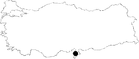
| Location: This cave site is southwest of the city of Antakya; in the village of Magaracik; which is near the town of Samandag. It is located between the cave site of Merdivenli Magara (Cave I) and Magara II (Cave II); but at a higher elevation. |
| Structural Properties and formation : It was named as "Tikali" (Occluded) by M. Senyürek and E.Y. Bostanci due to the debris filling the entrance of the cave. As it was filled up to the ceiling; it was claimed that the entrance looks like having three diverse mouths and then they combine to form a large hall; but the excavation revealed that the cave ends up at 3.5 m in the middle section; and at 7.5 m in the western section. |
| Research History: It was found in 1958 by M. Senyürek and E.Y. Bostanci; who were conducting explorations and excavations in the vicinity of Antakya; particularly near the Samandag District. They carried out a small excavation only at the entrance in spring in the same year. |
| Findings: The flake tool industry dating to the Middle Palaeolithic Age which was uncovered during the excavation is one of the most studied industries in settlements dating to the Palaeolithic Age in Anatolia. |