| ©The Archaeological Settlements of Turkey - TAY Project | ||||||
|
|
||||||
Yassihöyük 2 |
||||||
|
|
||||||
| Ages | Maps | Photos | ||||
| EBA |
 |
 |
||||
|
|
||||||
|
Type:
|
Mound | |||||
|
Altitude:
|
905 m | |||||
|
Diameter:
|
180 m- Direction: E-W | |||||
|
|
||||||
|
Region:
|
Mediterranean | |||||
|
Province:
|
Denizli | |||||
|
District:
|
Acipayam | |||||
|
Village:
|
Yassihöyük | |||||
|
|
||||||
|
Destruction :
|
Other - Agriculture - Contemporary Settlements - Attention | |||||
|
|
||||||
|
TAYEx:
|
Visited - 20/7/2004 | |||||
|
|
||||||
|
Registration State:
|
Registered For detailed registration information please refer to Turkish pages. | |||||
 |
||||||
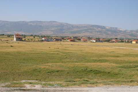
| Location: It lies on the northern side of the Yassihöyük Village (a sub-district at present); 8 km north of the Acipayam District; southeast of Denizli Province. It can be reached via the motorway running from Denizli to Acipayam through an exit to the village on the left/east. |
| Geography and Environment: The western ridges of the mound located on the western part of the Acipayam (Acibadem) Plain house fresh water springs. The mound consists of two hills; the larger eastern hill measures 350x200 m in dimensions. 14 m high above the plain level; it is a round mound [Duru 1999b:pic 1] while the western hill is squat compared the eastern one. It is reported to measure 190x150x5 m [Duru 1999b:132]. Duru claims that the cultural deposit goes down at least 4 m below the plain level and the lower levels have been locked because of the plain earth. The southern and southeastern parts of the larger hill have been damaged in big areas such as 80x50 m and 60x40 m due to the removal of soil by the villagers. |
| Destruction Details: A large amount of soil was removed from the southern section of the mound in order to make way for fields and constructions. On its east-northeastern slope is the cemetery of the village. A tractor road passes over it [TAYEx 20.7.2004]. |