| ©The Archaeological Settlements of Turkey - TAY Project | ||||||
|
|
||||||
Yavuzlu |
||||||
|
|
||||||
| Ages | Maps | Photos | ||||
| Chalcolithic EBA |
 |
 |
||||
|
|
||||||
|
Type:
|
Mound | |||||
|
Altitude:
|
670 m | |||||
|
Diameter:
|
m- Direction: | |||||
|
|
||||||
|
Region:
|
Southeastern Anatolia | |||||
|
Province:
|
Kilis | |||||
|
District:
|
Merkez | |||||
|
Village:
|
Yavuzlu | |||||
|
|
||||||
|
Destruction :
|
Illicit Digging - Contemporary Settlements | |||||
|
|
||||||
|
TAYEx:
|
Visited - 23/8/2001 | |||||
|
|
||||||
|
Registration State:
|
Registered For detailed registration information please refer to Turkish pages. | |||||
 |
||||||
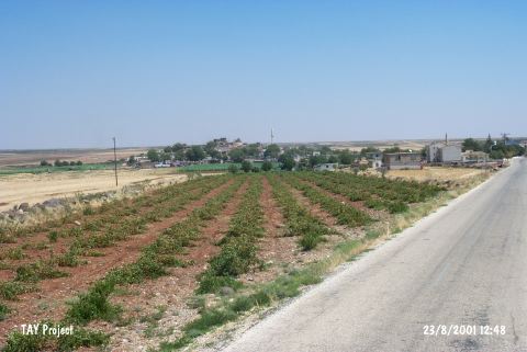
| Location: |
| Geography and Environment: |
| Destruction Details: Most of Yavuzlu village has been set on the mound. Soil taken away from its northwest slope and formed a section in which layers can be seen. There are pits on south skirt of the mound made by illicit diggers [TAYEx 23.8.2001]. |