| ©The Archaeological Settlements of Turkey - TAY Project | ||||||
|
|
||||||
 |
Tatarli Tümülüsü |
|||||
|
|
||||||
| Ages | Maps | Photos | ||||
| IA Greek-Roman |
 |
 |
||||
|
|
||||||
|
Type:
|
Tumulus | |||||
|
Altitude:
|
m | |||||
|
Diameter:
|
m- Direction: | |||||
|
|
||||||
|
Region:
|
Aegean | |||||
|
Province:
|
Afyonkarahisar | |||||
|
District:
|
Dinar | |||||
|
Village:
|
Tatarli | |||||
|
|
||||||
|
|
||||||
|
|
||||||
|
TAYEx:
|
- | |||||
|
|
||||||
|
Registration State:
|
For detailed registration information please refer to Turkish pages. | |||||
  |
||||||
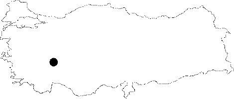
| Location: The Tatarli Tumulus is located on the Suhut-Dinar Motorway, 145 km away from Afyonkarahisar, and 35 km away from Dinar. It was founded on a rocky hill to the west of the Tatarli-Suhut road, 3 km northeast of the Tatarli Town. |
| Geography and Environment: |
| Destruction Details: |

