| ©The Archaeological Settlements of Turkey - TAY Project | ||||||
|
|
||||||
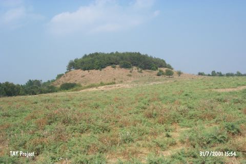
Tatarli Höyük |
||||||
|
|
||||||
| Ages | Maps | Photos | ||||
| Neolithic Chalcolithic EBA IA |
 |
 |
||||
|
|
||||||
|
Type:
|
Mound | |||||
|
Altitude:
|
80 m | |||||
|
Diameter:
|
m- Direction: | |||||
|
|
||||||
|
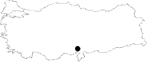
Region:
|
Mediterranean | |||||
|
Province:
|
Adana | |||||
|
District:
|
Ceyhan | |||||
|
Village:
|
Kösreli | |||||
|
|
||||||
|
Destruction :
|
Contemporary Settlements | |||||
|
|
||||||
|
TAYEx:
|
Visited - 31/7/2001 | |||||
|
|
||||||
|
Registration State:
|
Registered For detailed registration information please refer to Turkish pages. | |||||
 |
||||||
| Location: The mound lies in Tatarli Village; 9 km northwest of Toprakkale; east of Adana Province. |
| Geography and Environment: Tatarli Höyük is a large 35 m high flat mound with a 100x75 m base. The base of the mound is basalt. There ruins of a rectangular structure lie on top of the mound. North of the mound is a swamp. |
| Destruction Details: The mound is being used as a picnic area. There are two houses on south and southwest slopes; tea garden of the village on south-southeast section and water reservoir on top hill. It is wooded [TAYEx 31.7.2001]. |